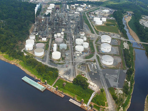
Jim’s Tank Service has its own aircraft capable of providing your organization with precise GPS coordinates and aerial photography. We document your exact latitude and longitude so that you can verify and mitigate your liability in the event of a large spill or other emergency incident.
Aerial surveillance and photography is another service that we can provide to our clients for permitting activities or other documentation required to support facility operations.

